
Aripeka seawall repair and Hammock Creek shorelines
Find the county and creek branch before choosing a permit path. Aripeka’s spring-fed estuary calls for a property-specific shoreline and access assessment.
Describe your project on this page ↓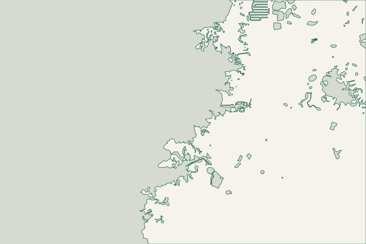
Choose the office by county
| Starting point | What to resolve | Prepare and look up |
|---|---|---|
Pasco Building Construction | Local work on the Pasco side of Aripeka. | Confirm the parcel first; call 727-847-8126, option 5. |
Hernando County Building | Local work on the Hernando side. | Call 352-754-4050 and use Hernando’s current Civic Access process. |
Waterway and environmental agencies | Applicable shoreline, vegetation and surface-water review. | Describe the existing bank and full footprint. SWFWMD’s Brooksville office covers field services in both counties: 352-796-7211. |
A spring system meeting the Gulf
Aripeka sits at the Pasco-Hernando county line, where Hammock Creek connects a spring system with the Gulf. Boat, Magnolia and Aripeka 1 and 2 springs feed the creek. The District describes freshwater swamps adjoining its saltwater estuary, so a waterfront address alone does not describe the bank, vegetation or conditions at the proposed work.
Begin with the bank that is actually there
Document whether the frontage has an existing vertical wall, a sloping bank, vegetation or a combination. Mark where erosion or soil loss begins and ends. Ask an assessor to explain what is failing before comparing a wall replacement with other stabilization approaches.
FDEP describes Hammock Creek as tidal and brackish toward its headsprings. Its report locates Aripeka Spring 1 in the upper creek, Aripeka Spring 2 on a tributary and Boat Spring at the head of the middle tributary. Name the branch when requesting records or review; conditions should not be assumed identical throughout the system. Nutrient TMDLs for Aripeka, Mud, and Salt Springs Systems, July 2016 Nutrient TMDLs for Aripeka, Mud, and Salt Springs Systems, July 2016
Keep habitat and access on the same drawing
Nearby Aripeka Sandhills Preserve is a county-District conservation property with access on Aripeka Road. Its public entrance is not permission to cross conservation land with equipment. Show the intended route, property lines and vegetation before a contractor includes clearing or staging in a proposal. Weekiwachee Preserve / Aripeka Sandhills Preserve
Where mangroves affect an existing wall, DEP asks owners to provide photographs and a description before relying on the relevant alteration exemption. Plant removal should never be assumed from a general trimming rule. Mangrove Frequently Asked Questions
Prepare a creek-side project brief
A clear map and photographs are more useful than assuming the nearest town name selects the correct authority.
Keep the parcel identifier visible
Record the county, parcel number, waterbody and frontage on the same brief.
Describe the current shoreline
Separate existing structures from proposed new armoring. Include neighboring banks and any vegetation that equipment would affect.
District Purchases Boat Springs, December 15, 2014 · Mangrove Frequently Asked Questions
Price the shoreline type and access
Expect the estimate to explain survey needs, access, vegetation protection and how removed material leaves the site. A price based only on frontage length misses the differences between repairing an existing wall and stabilizing a natural creek bank.
Published planning ranges, not a quote. Confirm design, permits, removal, access and restoration in the final proposal.
Compare quotes and plan a budget →Describe your Aripeka shoreline
Share the county if known, creek location, existing shoreline type and the change that prompted the repair request.
A clear next step for your waterfront.
Aripeka & Hammock Creek project questions
Does all of Aripeka use Pasco County permits?
No. Aripeka crosses the county line. A Hernando parcel follows Hernando’s local process; identify the property before submitting an application.
District Purchases Boat Springs, December 15, 2014 · Building
Does a spring-fed creek mean tides do not matter?
No. FDEP describes Hammock Creek as tidal and brackish toward the headsprings. Evaluate the actual frontage and water conditions.
Nutrient TMDLs for Aripeka, Mud, and Salt Springs Systems, July 2016
Keep planning
Nearby waterfront guides
Sea Pines & the Mako Drive Canal Network, Coral Cove & Driftwood Isles
Show sourcesHide sources
- District Purchases Boat Springs, December 15, 2014Source reviewed 2026-10-25
- Nutrient TMDLs for Aripeka, Mud, and Salt Springs Systems, July 2016Source reviewed 2026-10-25
- Weekiwachee Preserve / Aripeka Sandhills PreserveSource reviewed 2026-10-25
- Mangrove Frequently Asked QuestionsSource reviewed 2026-10-25 · official indexed text
- Building ConstructionSource reviewed 2026-10-25
- BuildingSource reviewed 2026-10-25 · official indexed text
- Contact Our Permitting StaffSource reviewed 2026-10-25 · official indexed text
- 2026 Florida Statutes, section 403.813Source reviewed 2026-10-25
- Pasco County Boundaries: Subdivision layerSource reviewed 2026-10-25