Seawall repair around Holiday, Bailey’s Bluff and Anclote
This southern surrounding-area guide covers distinct Gulf, creek, lagoon and river settings. Begin with the waterbody touching the property and the existing shoreline.
Describe your project on this page ↓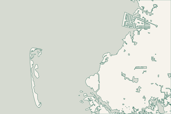
Gulf, creek, lagoon or river frontage
Key Vista Nature Park on Baillie’s Bluff Road helps show the variety of nearby waterfronts: its management plan describes Gulf frontage plus shoreline along Rocky Creek and Sleepy Lagoon. Anclote Gulf Park adjoins Key Vista, while Anclote River Park is a separate facility. Use these landmarks to locate the property without treating each shoreline as the same construction setting.
Compare options against the actual exposure
A Gulf-facing edge, a sheltered lagoon and a creek bank can require different investigations. Ask the designer what water levels, wave exposure, ground conditions and existing structures must be measured at your frontage. Avoid selecting a wall type solely from a neighboring property’s appearance.
The Key Vista plan documents about 1,600 feet of Gulf frontage and 2,200 feet beside Rocky Creek and Sleepy Lagoon. Those are park dimensions, not private-lot measurements. The state coastal map also separates Sand Bay, Bailey’s Bluff, Rocky Creek and the Anclote area. Key Vista Nature Park Management Plan, 2022 Florida Circumnavigational Saltwater Paddling Trail: Segment 7 Map Book
Learn from public plans without copying them
The 2022 park plan proposed living-shoreline elements on Rocky Creek and dredging intended to improve flushing into Sleepy Lagoon. It does not establish completion, suitability for your lot or a current construction schedule. Key Vista Nature Park Management Plan, 2022
Key Vista is state-owned conservation land managed by Pasco County. The plan identifies a primitive canoe/kayak launch on Rocky Creek; that does not authorize machinery, commercial loading or access across the park for private work. Key Vista Nature Park Management Plan, 2022 Key Vista Nature Park Management Plan, 2022
Distinguish two public project histories
Key Vista shoreline planning and the Bailey’s Bluff channel program are separate records with different purposes and timelines.
Identify the historical Key Vista award
Treasury records a $500,000 public shoreline-stabilization and dredge award in May 2020. It is not an available homeowner rebate or a residential wall estimate.
Check Bailey’s Bluff’s current phase
As of October 2026, the county lists engineering in progress with an estimated May 13, 2027 report publication. That is not a dredging or wall-repair start date.
Compare property-specific scope
Ask quotes to explain differences driven by the waterfront setting, access and the proposed bank or wall system. Keep public park grants, channel budgets and private construction prices separate when comparing options.
Published planning ranges, not a quote. Confirm design, permits, removal, access and restoration in the final proposal.
Compare quotes and plan a budget →Review the full shoreline footprint
| Starting point | What to resolve | Prepare and look up |
|---|---|---|
Pasco Building Construction | Local structural, marine and drainage review. | Confirm the parcel and complete work description; 727-847-8126, option 5. |
DEP Southwest / applicable agencies | Environmental review beside natural shoreline and conservation areas. | Bring a survey and photos identifying vegetation, existing armoring and any excavation. Pre-application discussions are available. |
Share your Holiday-area shoreline project
Include the street, Gulf or waterway frontage, existing wall or bank type and any proposed dock or drainage changes.
A clear next step for your waterfront.
Holiday, Bailey’s Bluff & Anclote project questions
Can I copy the living-shoreline proposal at Key Vista?
Use it as an example of an approach considered locally. Your frontage needs its own assessment of space, exposure, habitat and approvals.
Are Anclote Gulf Park and Anclote River Park the same launch?
No. They are separate facilities. Identify the exact access point and obtain any permission needed for the intended use.
Keep planning
Nearby waterfront guides
Gulf Harbors / Flor-A-Mar, Woodlands, Sea Forest & Gulf Landings, Green Key & Oyster Bayou Corridor
Show sourcesHide sources
- Key Vista Nature Park Management Plan, 2022Source reviewed 2026-10-25
- Florida Circumnavigational Saltwater Paddling Trail: Segment 7 Map BookSource reviewed 2026-10-25
- Building ConstructionSource reviewed 2026-10-25
- Residential Docks, Seawalls & Boat Lifts: Permit Submittal RequirementsSource reviewed 2026-10-25
- Southwest District PermittingSource reviewed 2026-10-25
- RESTORE Act Direct Component Grant AwardsSource reviewed 2026-10-25
- Channel Restoration ProgramSource reviewed 2026-10-25